Route layers of Berliner Strasse
Route layers of Berliner Strasse in Wusterhausen from the 13th to the 21st century, latex print.
The original layered structure discovered during excavations shows, from bottom to top, the development of the paths in the south of Wusterhausen from the 13th to the 17th century. Because of the destruction caused by modern road construction, the more recent path horizons from the 18th to 21st centuries are reconstructed.
Shortly after the city was founded, the marshy lowland area near the Kampehler Tor had to be drained at great expense: pits filled with logs and soil served to stabilize the soil. Several layers of brushwood were placed on top to absorb the waterlogging. The labour-intensive measure was necessary so that wagons and heavily loaded carts could pass through the southern arterial road of the medieval town even in bad weather.
In the centuries that followed, a different method was used: from the 14th to the 17th century, the entire lowland area of the city was systematically raised by more than one meter using thousands of wagonloads of sand. In contrast to other streets in Wusterhausen, the road to Kampehler Tor remained unpaved at this time.
It is known from documents that the causeway was paved in 1728. The construction of the new Prussian highway from Berlin to Hamburg in the years 1828 to 1830, which reached Wusterhausen via the Kampehler Tor, was accompanied by a further elevation and paving of the street area.
Reichsstraße 5, as the street was called from the 19th century, was renovated in 1935. To do this, a concrete cover was pulled in and a cast slag pavement was laid. Interzone and transit traffic of the F 5 also rolled over this road from 1952 until 1962, when a bypass relieved the city center. The last renovation of the road, which gave the opportunity for a comprehensive archaeological investigation, was in 2008 and 2009.
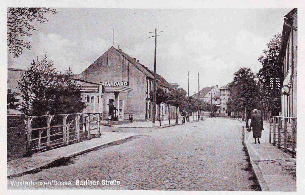
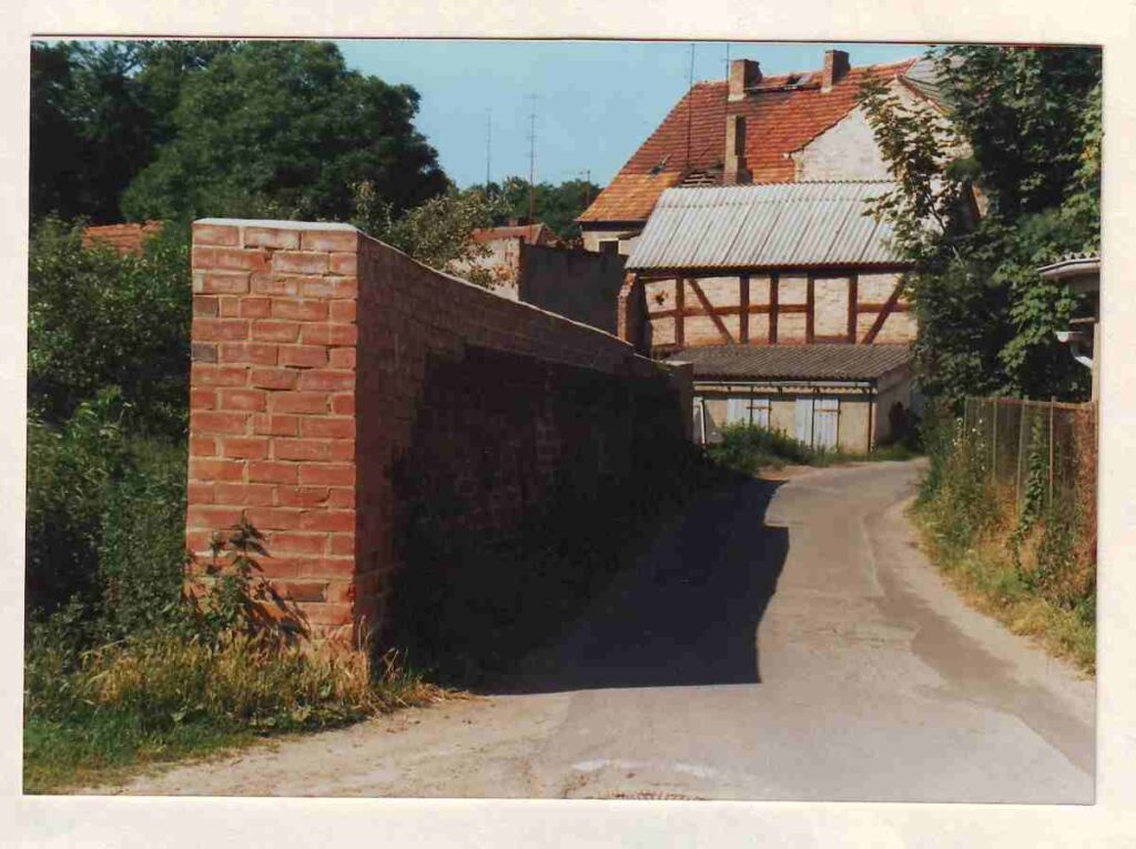
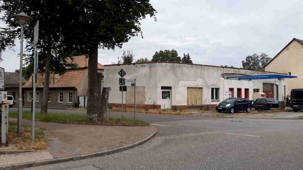
View of the gas station opposite the Zweirademühle - this is where the mill arm once flowed.
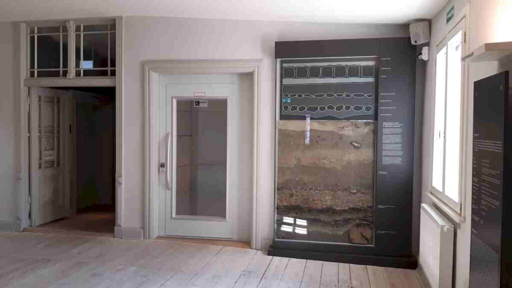
Lacquer profile exhibited in the foyer of the path museum
Additional information
link Wikipedia (Article about the casting of the road layers, so-called paint profile)
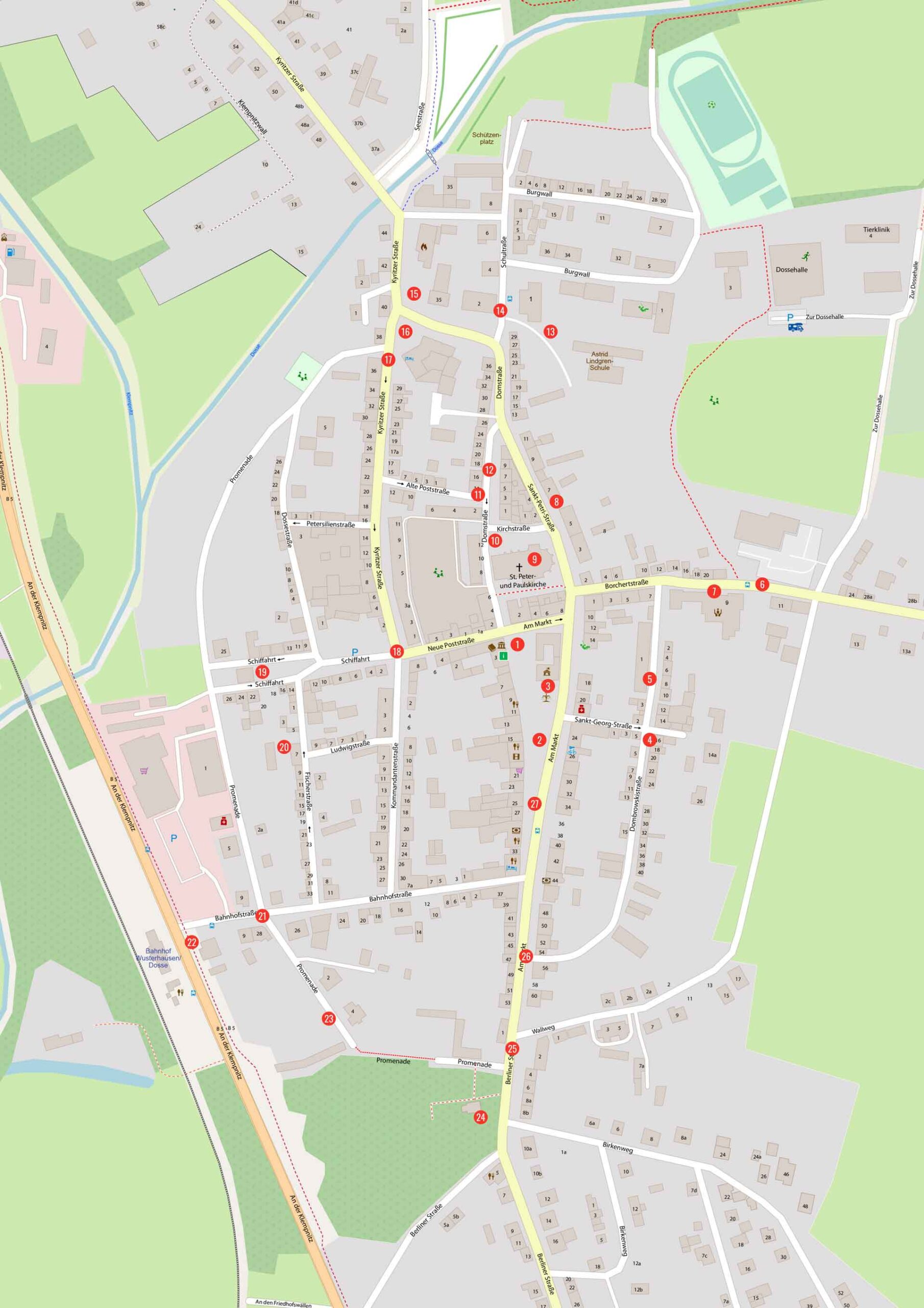
City walk map general view
